Looking for the best hikes in Lauterbrunnen, Switzerland?
I have put together this complete guide to the 15 BEST Hikes In Lauterbrunnen which includes some of the best Lauterbrunnen hiking trails with jaw-dropping scenery that will leave you in complete awe.
Also in this post, I’ve included useful information on how to get to Lauterbrunnen, where to stay, the best time to visit, and much more.
QUICK ANSWERS: BEST HIKES IN LAUTERBRUNNEN
Before you go hiking in Lauterbrunnen, here are some quick answers to the most frequently asked questions from first-time visitors.
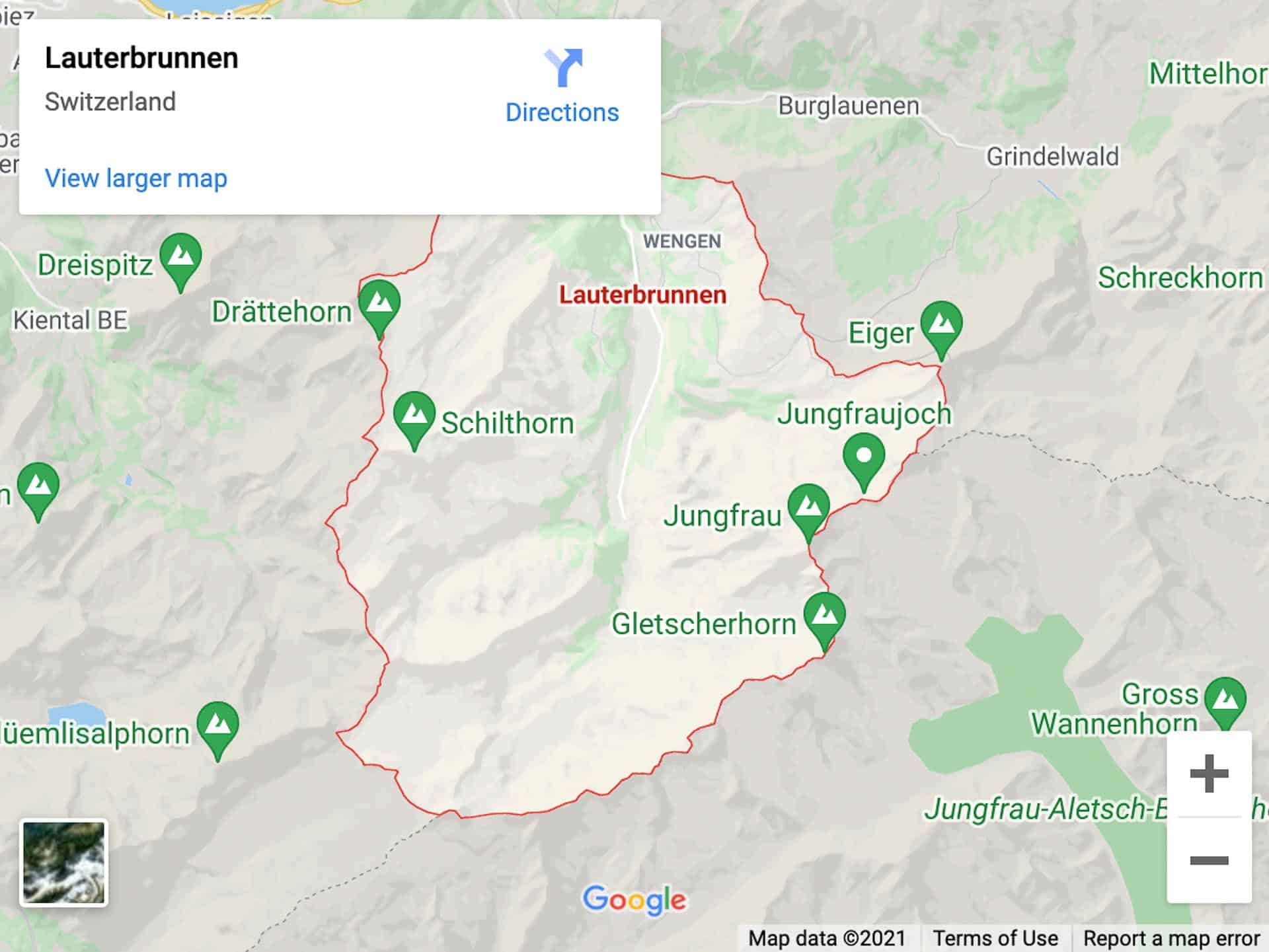
WHERE IS LAUTERBRUNNEN?
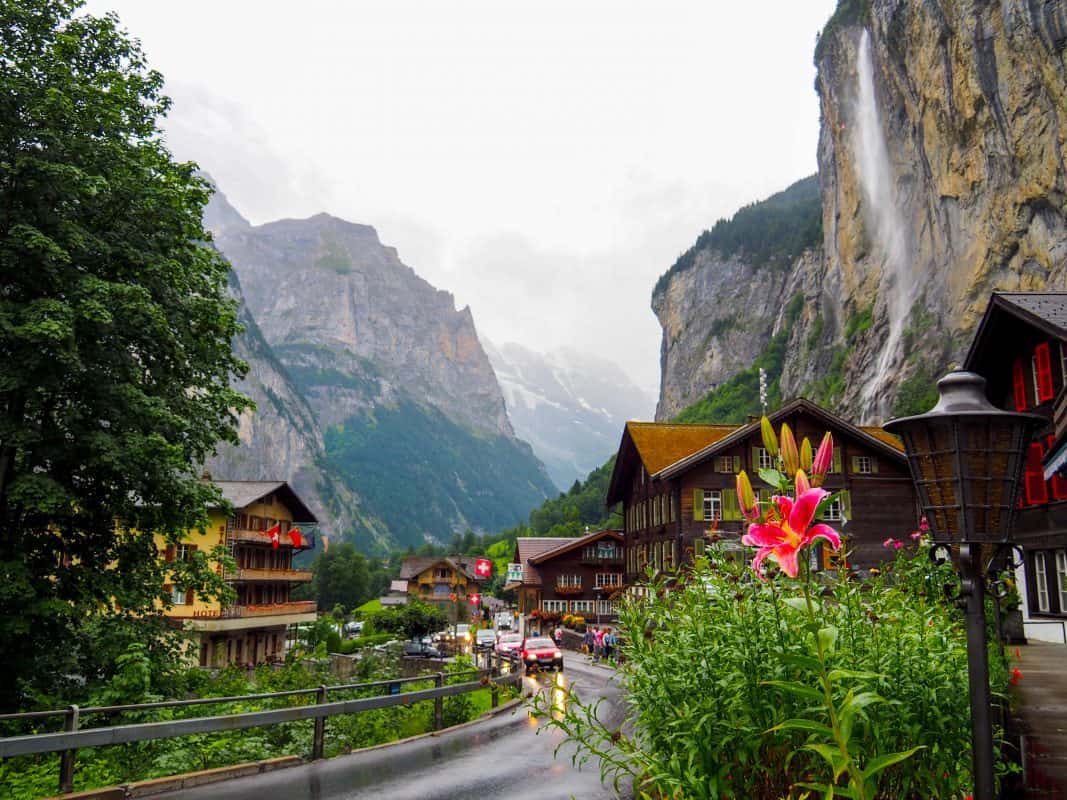
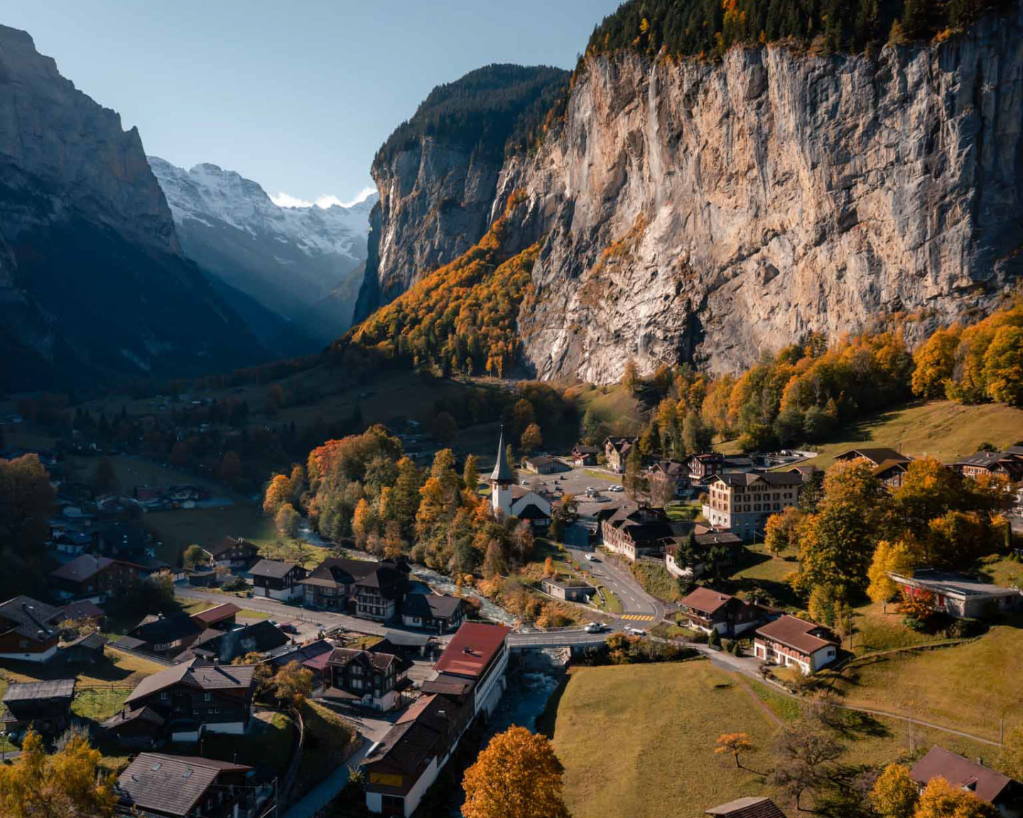
Lauterbrunnen is located in the center of Switzerland in the Jungfrau Region among the Swiss Alps.
It’s set in a beautiful valley surrounded by monolithic cliffs and features countless glacial waterfalls.
Click here to see the location on Google maps.
HOW TO GET TO LAUTERBRUNNEN?
There are many transportation options available when searching for how to get to Lauterbrunnen and it all depends on where you are traveling from within Switzerland.
I have gone into further detail in a separate blog post which includes all the transportation options on how to get here from seven major cities within Switzerland.
When planning a trip to Switzerland, one of the best and most popular ways to get around the country is by train using the all-in-one Swiss Travel Pass.
Get the all-in-one Swiss Travel Pass!
Get unlimited rides on trains, buses, and boats throughout Switzerland with an all-in-one Swiss Travel Pass!
Simply show your Swiss Travel Pass e-ticket on your smartphone to instantly start your rail adventure.
Once you have purchased the Swiss Travel Pass online, you’ll receive an email with your tickets which you can print out or save to your smartphone.
I also recommend downloading the SBB Mobile app from the App Store. You can use this app to check all train, bus, and boat timetables in Switzerland when you’re on the move.
HOW TO GET FROM INTERLAKEN TO LAUTERBRUNNEN?
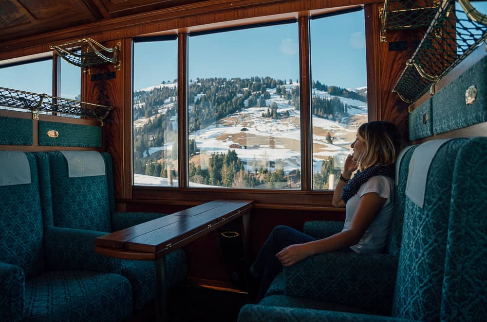
If you are visiting Lauterbrunnen Switzerland from the nearby city of Interlaken, there are hourly trains that depart from Interlaken East Train Station, and using the Swiss Travel Pass, taking a train to Lauterbrunnen Railway Station couldn’t be easier.
The train from Interlaken takes only twenty minutes and you’ll disembark right in the center of upper Lauterbrunnen Valley.
15 BEST LAUTERBRUNNEN HIKES
Read on to discover the 15 Best Lauterbrunnen hiking trails in Lauterbrunnen Valley itself and also the best hikes near Lauterbrunnen.
HIKES IN LAUTERBRUNNEN VALLEY
Let’s kick off this guide with the hiking trails in Lauterbrunnen Valley itself.
And as mentioned above, I’ll go through the best hikes around Lauterbrunnen later in this guide including hiking trails in Interlaken and other areas.
1. WENGEN TO MÄNNLICHEN
- Length: 4.9km
- Difficulty: Moderate
- Duration: 2 hours
- Elevation gain: 1042m
Männlichen has always been one of the better hikes in Lauterbrunnen where an upward trail leaves from Wengen via the Eiger Ultra Trail.
The full hike is 4.9 km and takes roughly 2 hours past some of the best scenery in the Lauterbrunnen region.
The route, however, is steep and narrow, and may not be the best hike for beginners (the downhill option is better here).
Männlichen is one of the newer cable car routes to be included on the Jungfrau Travel Pass as a stop between Grindelwald, Wengen, and Grund, and it’s possible to start at Männlichen Cable Car Stop for the final stretch known as The Männlichen Royal Walk.
There’s a nice crown at the top, and this Lauterbrunnen Switzerland hike (or upward stroll really) is only around 20 minutes at the most walking there and then less back.
But many people will do similar where they take the cable cars to Männlichen before walking a more leisurely downhill route back to Wengen.
There is also an alternative option from Männlichen with a hike to the pass at Kleine Scheidegg (1 hour and 30 minutes) before following the downhill trek from Kleine Scheidegg (2 hours and 30 minutes) back to Wengen.
Again, this is a ridiculously scenic route and one of the best hikes in Lauterbrunnen. Can you think of a better Wengen to Lauterbrunnen hike?
Contributed By: Allan Wilson – It’s Sometimes Sunny in Bangor.
JUNGFRAU TRAVEL PASS
To make the most out of your time during your stay, the best way to get around is with the Jungfrau Travel Pass!
It includes private transportation with an experienced guide, multiple attractions, all entrance fees, and more!
2. MÜRREN TO GRUTSCHALP – LAUTERBRUNNEN HIKING
- Length: 4.5km
- Difficulty: Moderately challenging
- Duration: 1 hour
- Elevation gain: 60m
Another of the easy hikes in Lauterbrunnen offers in the region is the one from Mürren to Grutschalp.
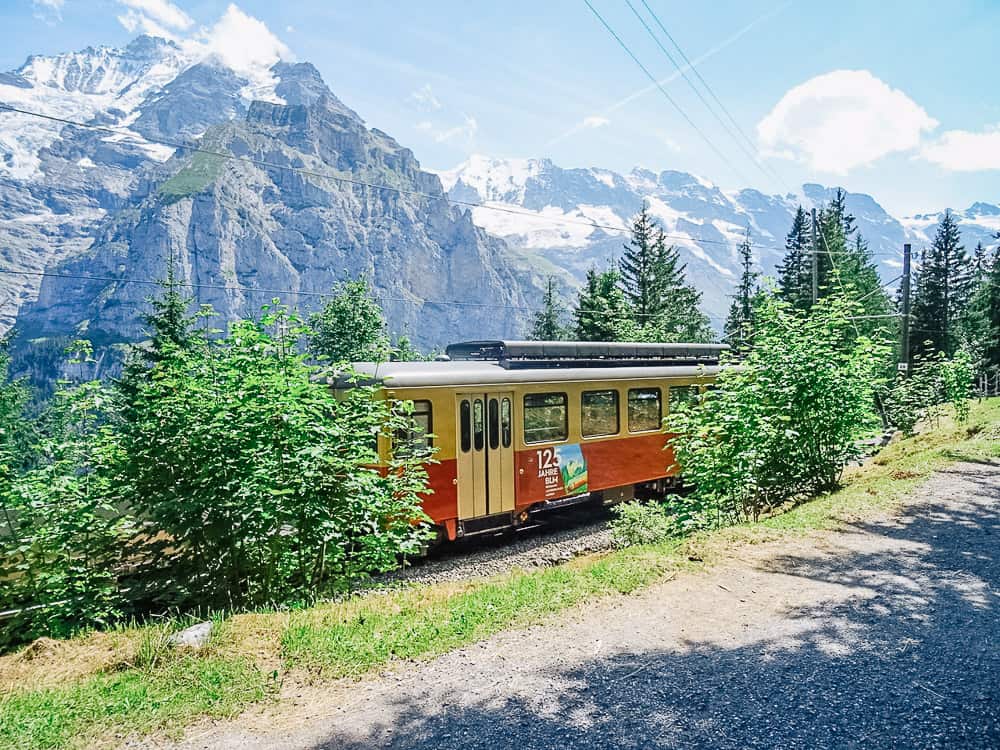
This Lauterbrunnen hiking trail starts beside the Mürren train station and gradually meanders down to Grutschalp via the hamlet of Winteregg.
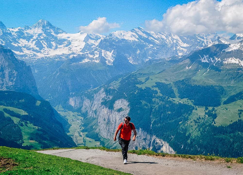
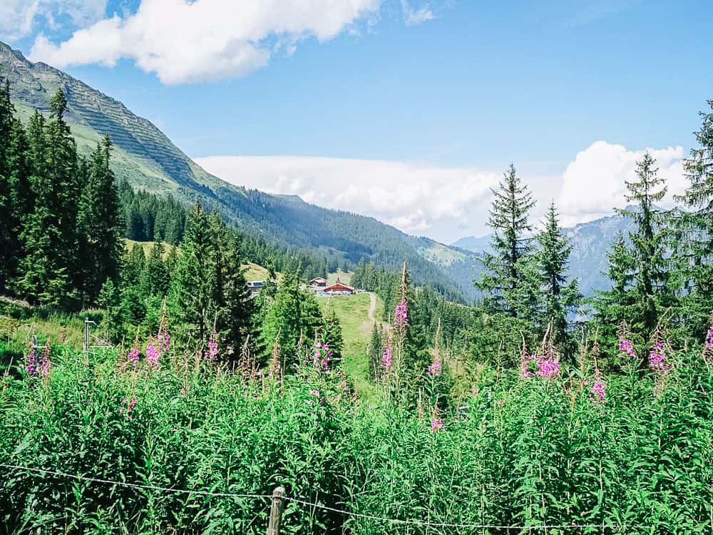
The well-made path offers an interesting and panoramic route – alongside the railway line, alpine meadows, and rushing streams.
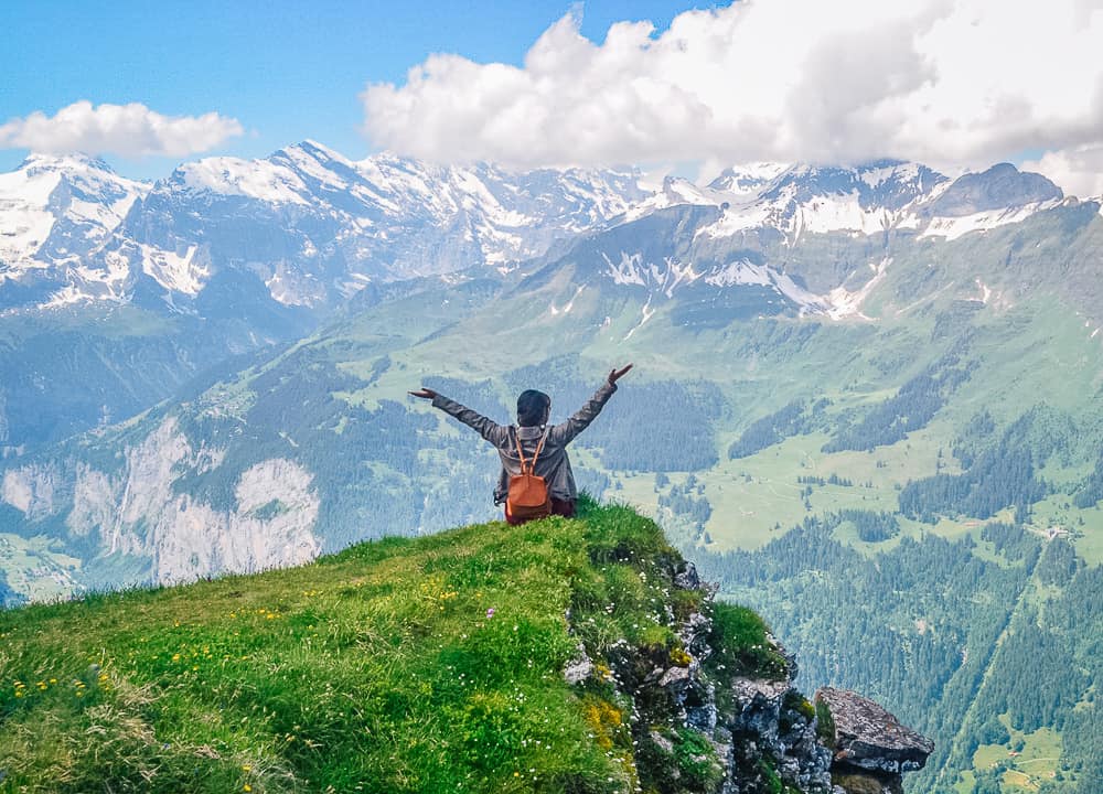
There are some wonderful viewing opportunities of the Eiger, Jungfrau, and Monch as you make your descent (or ascent) on this incredible hike.
The path is mostly flat and suitable for all ages and it’s recommended you allow around 1 hour and 10 minutes to complete this best hike in Lauterbrunnen.
You’ll probably take longer though, as you’ll want to stop and admire the views!
If you are hiking in Lauterbrunnen during the summer months, a visit to the Alpkaserie Staubbach at Winteregg is a must. You’ll find Alpkaserie Staubbach near the Winteregg station.
This Alpine cheese dairy sells the most delicious homemade yogurt and cheese straight from the farm gate.
You’ll pass the farmer’s cows as you stroll along the path so do yourself a favor and sample their products.
You can start this hike in either Mürren or Grutschalp and it’s a great way to do something active either before or after a visit to the Schilthorn.
Contributed By: Carolyn – Holidays to Switzerland.
3. GIMMELWALD TO MÜRREN VIA THE NORTH FACE
- Length: 7km
- Difficulty: Easy
- Duration: 2-3 hours
- Elevation gain: 380m
Next on this list of Lauterbrunnen easy hikes is the Gimmelwald to Mürren hike via The North Face.
I had visited the valley to go paragliding, but then the hiking Lauterbrunnen Switzerland opportunities completely took me by surprise.
I was staying in the small town of Gimmelwald, and paragliding took off in the nearby town of Mürren. This being Switzerland, both towns were perched on the sides of the mountains.
Thus the most adventurous way to go between the two villages was to hike, and we opted for The North Face.
The North Face is a 7 km Lauterbrunnen loop hike starting and ending in Murren, though you can also access it from Gimmelwald.
This Lauterbrunnen hike takes about 2 hours and 30 minutes to complete. Although ‘The North Face’ sounds intimidating, the trail is fairly flat and considered easy.
However, if you aren’t accustomed to hiking at high altitudes (like me), you will find yourself getting tired sooner than you would on hikes at home. Luckily, there isn’t a lot of elevation gain.
The hike is moderately trafficked, and we saw a few other hikers on this Lauterbrunnen hiking trail.
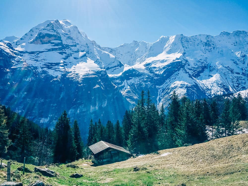
Far more often than hikers, we saw mountain vistas and yellow wildflowers on green pastures covered the foreground with old, wooden mountain lodges tucked away.
In the background were jagged, snow-capped mountains and a bright blue sky.
This hike is great for both beginner and experienced hikers to enjoy spectacular views along the route.
Contributed By: Mikaela Ferguson – Voyageur Tripper.
The BEST Hotel in Lauterbrunnen
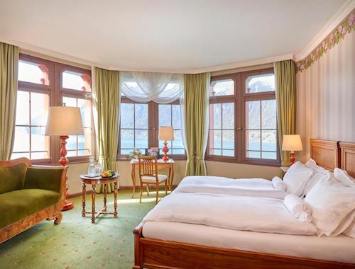
Need a place to stay? Hotel Staubbach is centrally located in Lauterbrunnen.
With authentic rooms, a delicious breakfast, and near the best Lauterbrunnen trekking routes, you’ll love it here.
4. MURREN TO GIMMELWALD THROUGH VIA FERRATA
- Length: 2.2km
- Difficulty: Moderate
- Duration: 2 hours
- Elevation gain: 300 meters
A more adventurous yet best hike in Lauterbrunnen is the way to Gimmelwald from Mürren passing by Ferrata.
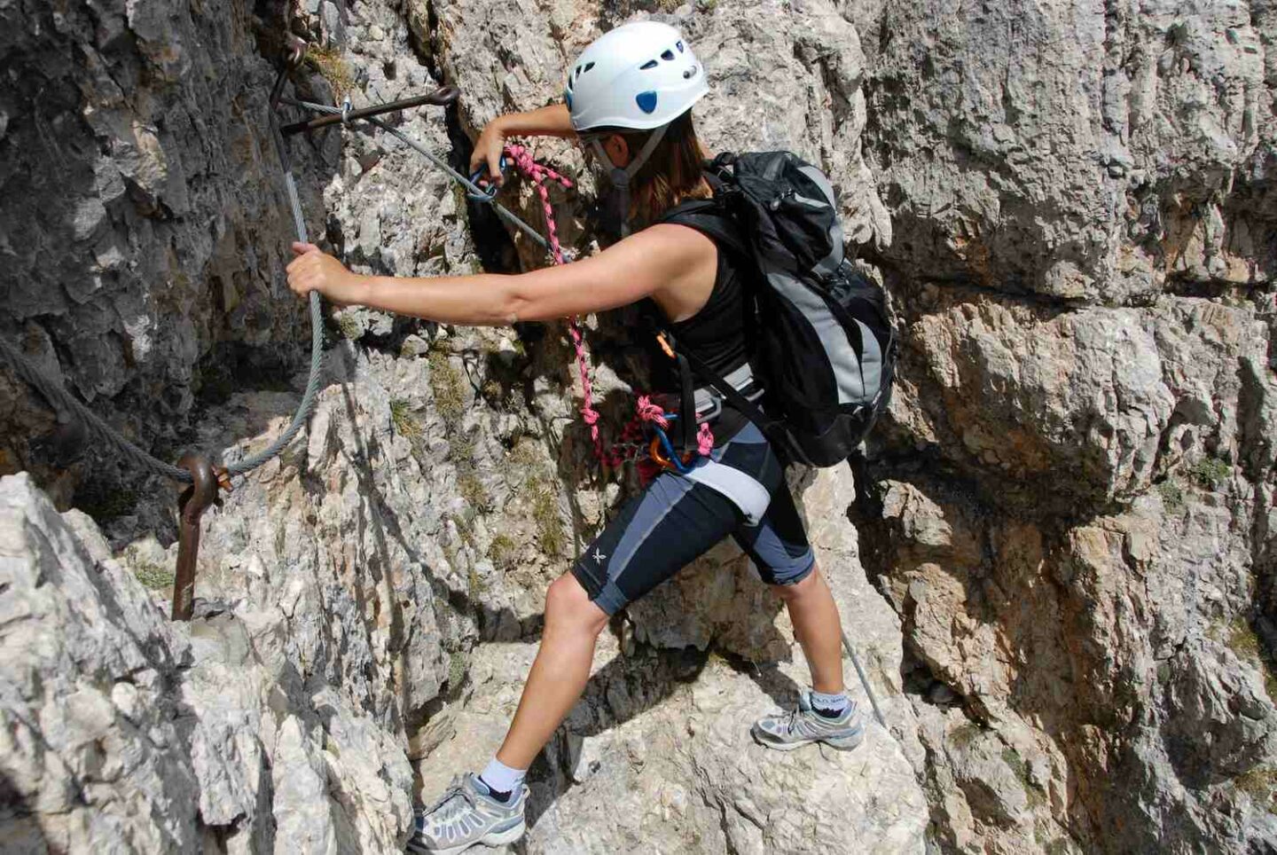
The path takes you through ladders and steps on the edge of a cliff with unparalleled views of the Lauterbrunnen Valley.
Don’t worry if you’re scared of heights because you’ll be securely strapped into a harness from the start.
RELATED ARTICLE: 8 DAY SWITZERLAND ITINERARY
This is one of the Lauterbrunnen best hikes to experience Swiss nature from a unique perspective.
You’ll be amazed at the exhilaration you’ll feel while hanging off the 500-meter cliff, overlooking the stunning valley.
To get there, take the Grutschalp cable car beside the train station. From there, switch to the historic Murren Railway, which takes you to the start of the Via Ferrata.
Before starting, though, you’ll have to rent the hiking gear, and you can do that at a sports chalet, about 10 minutes walk past the Edelweiss Hotel.
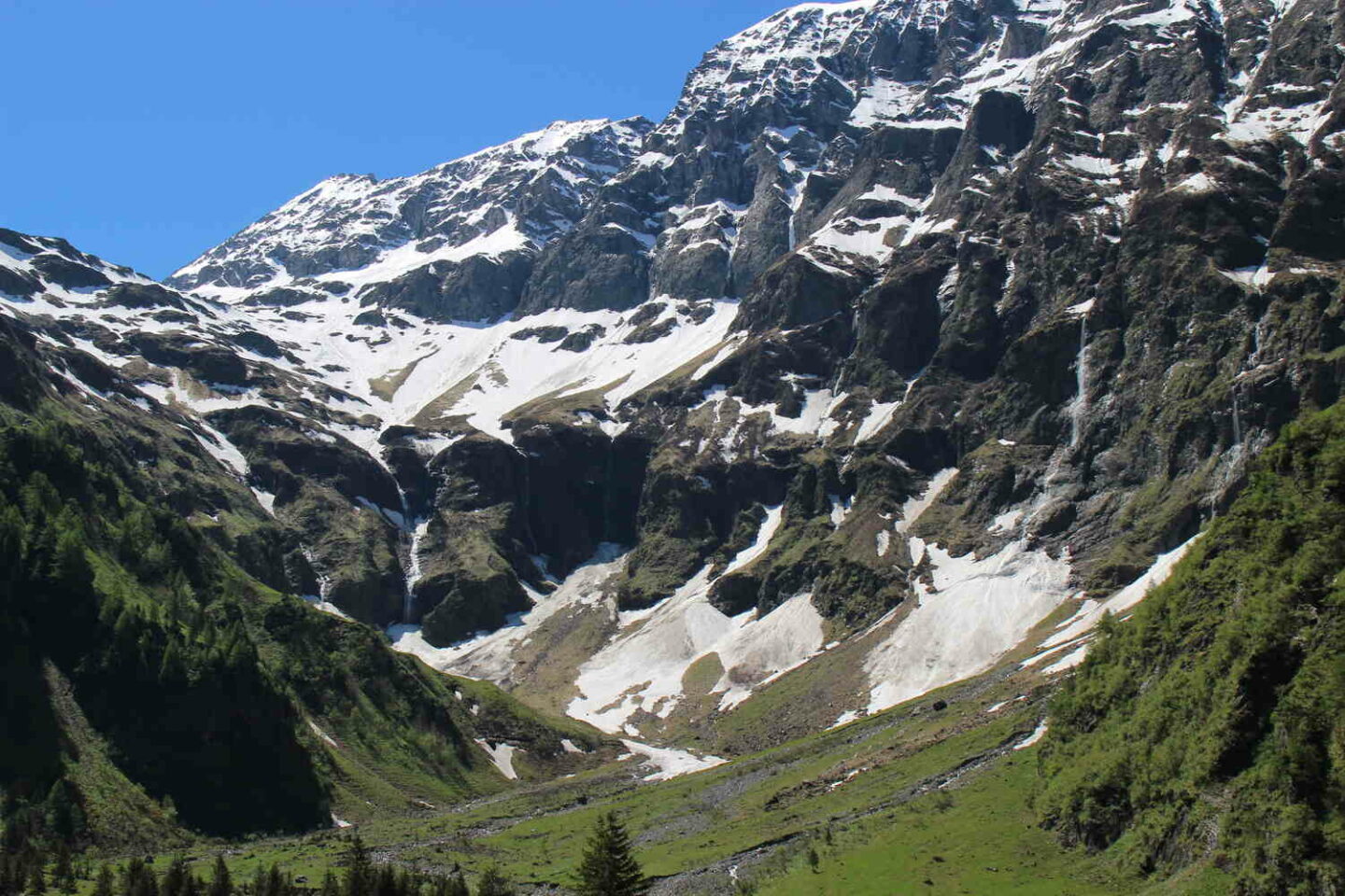
5. TANZBODELI & OBERSTEINBERG HIKE
- Length: 13.9km
- Difficulty: Steep but moderate hike
- Duration: 6-7 hours
- Elevation gain: 1100 meters
This 13.9km hike takes you through some of the most stunning landscapes Switzerland has to offer.
While the entire path is beautiful, the Tanzbodeli portion of the hike stands out for its unmatched 360-degree panoramic views.
The trail is relatively safe, although it does get physically challenging due to the steep incline and thin air.
Also, be prepared to spend the whole day hiking in Lauterbrunnen.
While the hiking part only takes about 4 hours, you’ll want to plan some stops here and a 1-hour stop at the summit to enjoy the views, so 6-7 hours in total.
Of course, the views from the summit are worth every step. Plus, you can always take a break and enjoy lunch or a drink at the Obersteinberg Hotel.
Can you think of more original Lauterbrunnen walks? I surely can’t!
6. MÜRREN TO SCHILTHORN HIKE
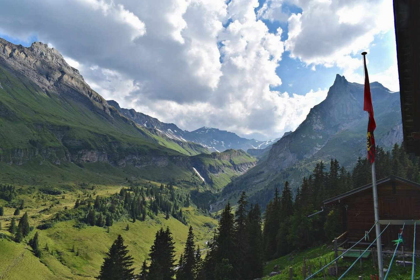
- Length: 12.9km
- Difficulty: Moderate
- Duration: 6 hours
- Elevation gain: 1600m
For a relatively easier hike in Lauterbrunnen, the trail from Mürren to Schilthorn is a good option, with 1600 meters of altitude climbed along the way.
This hike in divided into 2 sections – Mürren to Rotstockhutte (the easy part) and Rotstockhutte to Schilthorn (steep and more challenging).
The trail from Murren to Rotstockhutte is relatively easy and perfect for beginners and families with only 300-400 meters of elevation.
After that, the real challenge begins at Rotstockhutte. The ascent to Schilthorn is very steep, with an incline of over 1000 meters, however, it’s quite safe despite the rocky terrain.
The total distance of the hike is 12.9 kilometers from Murren to the Schilthorn summit, and it’ll take 6 hours or so.
If you aren’t up for hiking back down, catch the Schilthornbahn back to Murren for a relaxing end to a challenging day.
Alternatively, if you only want to see the views, then taking the Schilthornbahn roundtrip is a good idea and you’ll save yourself the hike up!
7. TRUMMELBACH FALLS SHORT TRAIL
- Length: 3.5km one way
- Difficulty: Easy
- Duration: 1-2 hours
- Elevation gain: 33m
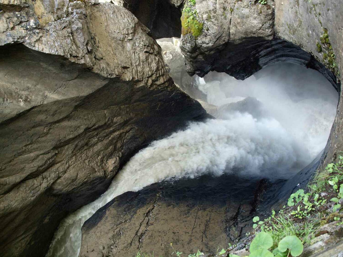
The Trummelbach Falls Short Trail is your chance to see Europe’s largest subterranean waterfall, and that’s the reason why it’s one of the most popular routes in Switzerland.
The trail is just 3.5 kilometers long and it’s one of the best hikes from Lauterbrunnen, making it one of the easiest around.
If you’re coming from Interlaken, the best way to come here is to join a Waterfalls Day Tour, which includes other spots like Staubbach Falls and Giessbach Falls.
BEST WATERFALL TOURS IN LAUTERBRUNNEN
Enhance your experience while trekking Lauterbrunnen by embarking on one of these 3 top-rated tours, ensuring you make the most of your visit:
- Best-Rated: Lauterbrunnen Valley Waterfalls Day Tour
- Most Popular: Lauterbrunnen Valley Waterfalls E-bike Tour
- Best Tour From Zurich: Lauterbrunnen, Interlaken, Mürren Tour
8. STAUBBACH FALLS HIKE IN LAUTERBRUNNEN VALLEY
- Length: 0.6 kilometers
- Difficulty: Easy
- Duration: 45 minutes
- Elevation gain: 117m
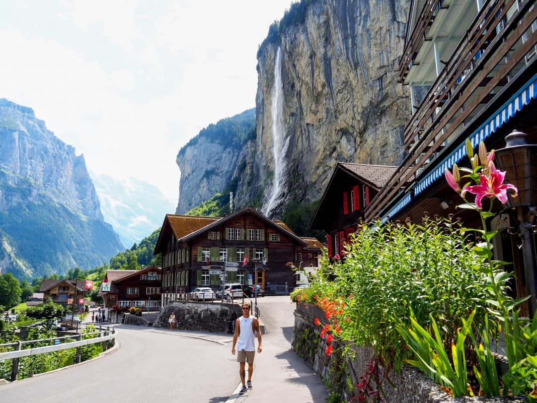
The Staubbach Falls trail is another Lauterbrunnen hike that will take you through picturesque landscapes.
The trail to the falls is just 600 meters long and is one of the most popular and highly rated hikes around Lauterbrunnen.
Along the way, you will cross quaint wooden bridges, meander through scenic meadows, and enjoy the fresh mountain air.
What makes Staubbach Falls truly unique is its awe-inspiring height of 300 meters, making it the third-highest waterfall in all of Switzerland.
At the top of the falls, you can sit back and enjoy the breathtaking views of the surrounding valleys and mountains. You might even catch a glimpse of paragliders soaring above as they take in the magnificent alpine scenery!
As mentioned previously, Staubbach Falls is included in the Waterfalls Day Trip from Interlaken, which I recommend if you have limited time or staying out of town.
9. MÄNNLICHEN ROYAL WALK
- Length: 1.7 km round trip
- Difficulty: Easy
- Duration: 30-45 minutes
- Elevation gain: 120m
This is one of Lauterbrunnen’s best hikes, perfect for those who want to experience the best panoramic views of the Jungfrau Region without having to exert too much energy.
Starting from the Männlichen cable car, the Royal Walk takes you on a smooth and easy path that winds through the rugged Swiss Alps
As you make your way to the peak, you’ll be treated to breathtaking views of the surrounding mountain ranges and valleys.
The best part about this hike in Lauterbrunnen is that it’s suitable for families with children too.
You can also see the pretty villages of Grindelwald and Wengen below, which calls for Insta-worthy shots!
The hike may be short, but it’s packed with natural beauty and majestic views that will take your breath away.
I highly recommend combining the Männlichen Royal Walk with the panorama trail to Kleine Scheidegg to make the most of your time in the region.
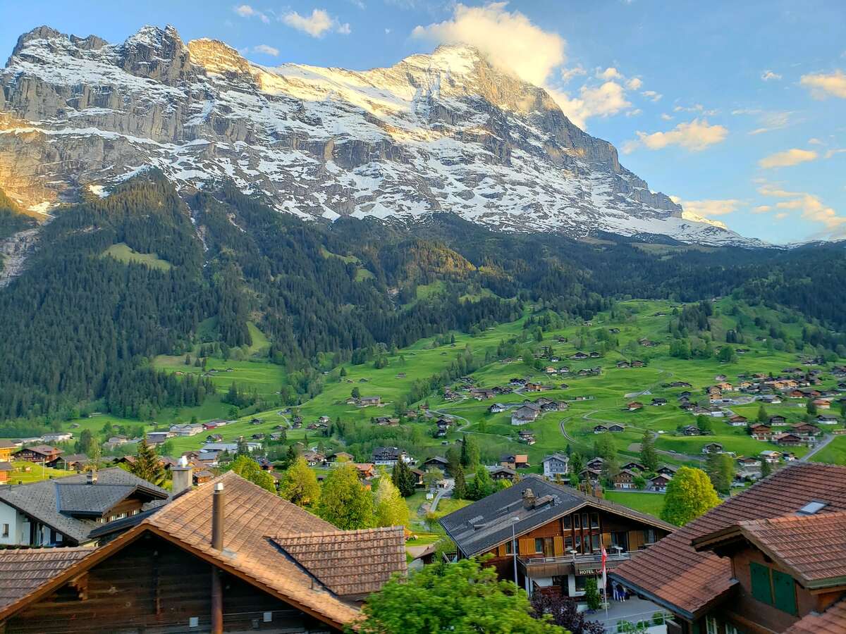
10. LAUTERBRUNNEN TO STECHELBERG
- Length: 4.3 km
- Difficulty: Easy
- Duration: 1-2 hours with a few stops
- Elevation gain: 118m
This 4.3 km trail is mostly paved, making it an ideal option for beginners or families with children. However, towards the end, the trail becomes gravel, so keep that in mind.
One thing that makes this hike unique is the massive Staubbach Falls and Mürrenbachfall, which make the trail even more fun!
As you make your way towards Stechelberg, you’ll be treated to some of the most picturesque views the Alps have to offer. The Mürrenbachfall is particularly impressive, and you’ll want to have your camera ready!
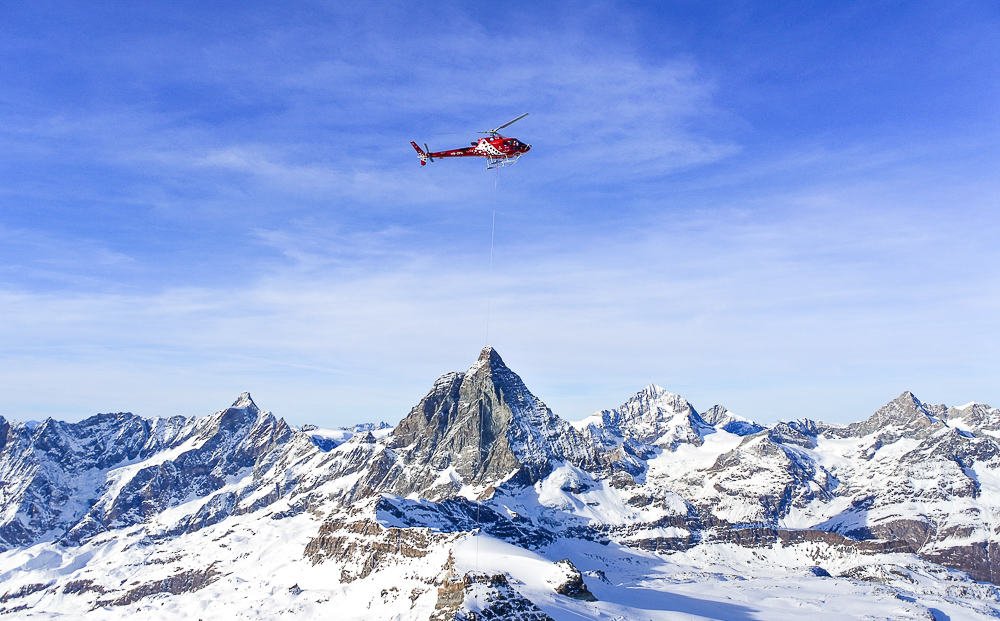
Also, you’ll see helicopters taking paragliders to the skies. And talking about this, I highly recommend taking a paragliding tour in Lauterbrunnen, as it’s one of the coolest activities you’ll find!
The whole hike should take you about an hour, and if you’re not up for walking back to Lauterbrunnen, there’s a convenient bus service that will take you back.
The Postauto 141 bus costs between 2 – 4 CHF and takes just 18 minutes.
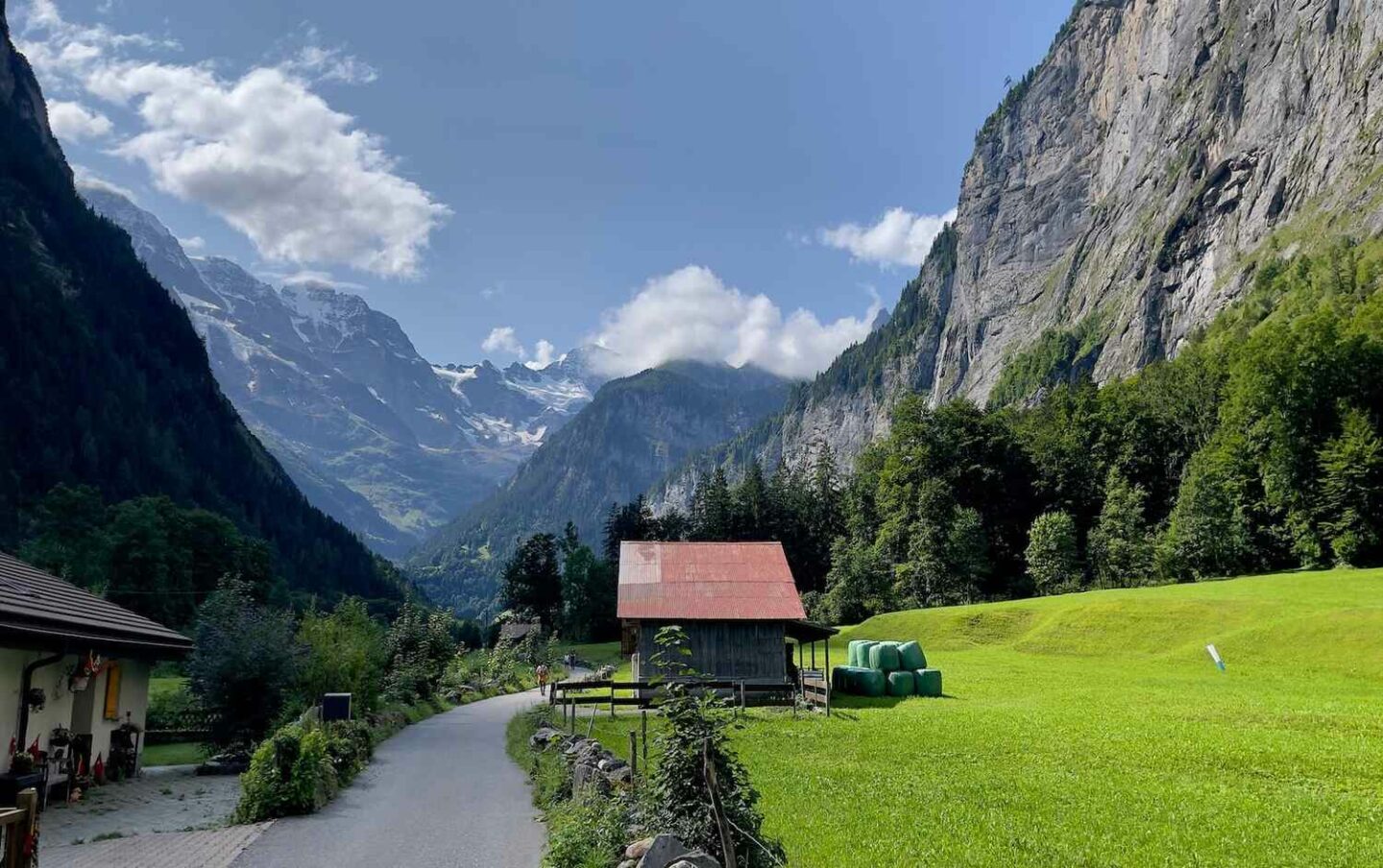
11. ISENFLUH SULWALD PANORAMA TRAIL
- Length: 3km
- Difficulty: Moderate
- Duration: 2 hours
- Elevation gain: 500m
Starting in the authentic village of Isenfluh, you’ll take an aerial cableway up to Sulwald, which treats you with awe-inspiring views of the valley.
From there, the trail leads you through a magnificent landscape of forests and rocks to the peaceful Alp Chüebodmi.
As you hike along the Sulsbach, you’ll encounter several places of power, such as Chüebodmi, Fritzenbrüggli, and Sulsseeli, which are believed to have healing and transformational qualities.
This Lauterbrunnen walk eventually takes you to the SAC Lobhorn hut, which is at an altitude of 1955m.
The hut provides spectacular views of the Lauterbrunnen Valley hikes and the famous Eiger, Mönch, and Jungfrau mountains.
Alternatively, you can hike all the way from Isenfluh to Sulwald rather than taking the cable car. This route covers an additional length of 2.2 km, which means it will take you about an hour longer to complete.
However, it’s worth the effort as you’ll get to witness the impressive waterfall of Sulsbach and stroll through the landscape of meadows and forests.
Lastly, if you want to make the day even more active, why not continue the trail up to Lobhornhütte? This will be an experience for the books!

BEST HIKES AROUND LAUTERBRUNNEN
If you have more time available after your Lauterbrunnen Valley hike, then I recommend taking one of these best hikes near Lauterbrunnen which I’ve listed below.
12. SCHYNIGE PLATTE TO MOUNT FIRST FROM GRINDELWALD
- Length: 16.2km
- Difficulty: Challenging
- Duration: 5-7 hours
- Elevation gain: 1000m
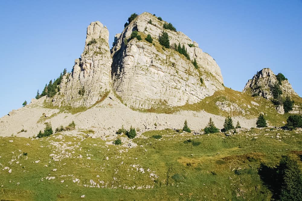
Schnige Platte to First is one of the best hikes Lauterbrunnen offers for travelers and is sometimes called the Faulhornweg, after the Faulhorn peak that you will climb as part of this hike.
It’s a fairly strenuous walk but definitely worth it, and is one of the best Lauterbrunnen walks in the whole Jungfrau region.
It takes about 6 hours to cover the 16 kilometers of the trail.
The tourism office promotes this hike by saying that you will see six pearls in six hours, such as:
- alpine flowers on the Matten
- the Loucherhorn
- the karst landscape in Güw
- the Sägistalsee
- the view from the Faulhorn
- the Bachalpsee
All of this mountain scenery is spectacular, but most people will agree that the best of the six is the view from the Faulhorn, with the Jungfrau massif on one side and Lake Brienz on the other.
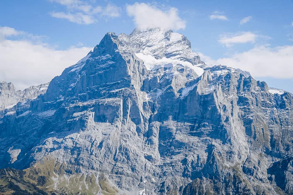
And the endpoint at First is also breathtaking, with great views of the 3700-meter Wetterhorn peak.
Add another hour or two to the total time of this Lauterbrunnen hike if you choose to walk down from First to Grindelwald.
The alternative is to catch the gondola, but make sure to pre-book it online to secure your seat as it gets very busy.
There are also various activities available at First, like go-karts, a flying fox, and even hang-gliding that you might want to take advantage of if you still have energy left.
I recommend bringing a packed lunch with you on this hike, but if you want to eat afterward then Eiger in Grindelwald serves fresh, healthy food, including options for vegetarians and vegans in Switzerland.
Contributed By: Wendy Werneth – The Nomadic Vegan.
13. LAKE BACHALPSEE FROM GRINDELWALD
- Length: 6km roundtrip
- Difficulty: Easy
- Duration: 3 hours with breaks
- Elevation gain: 2,265m
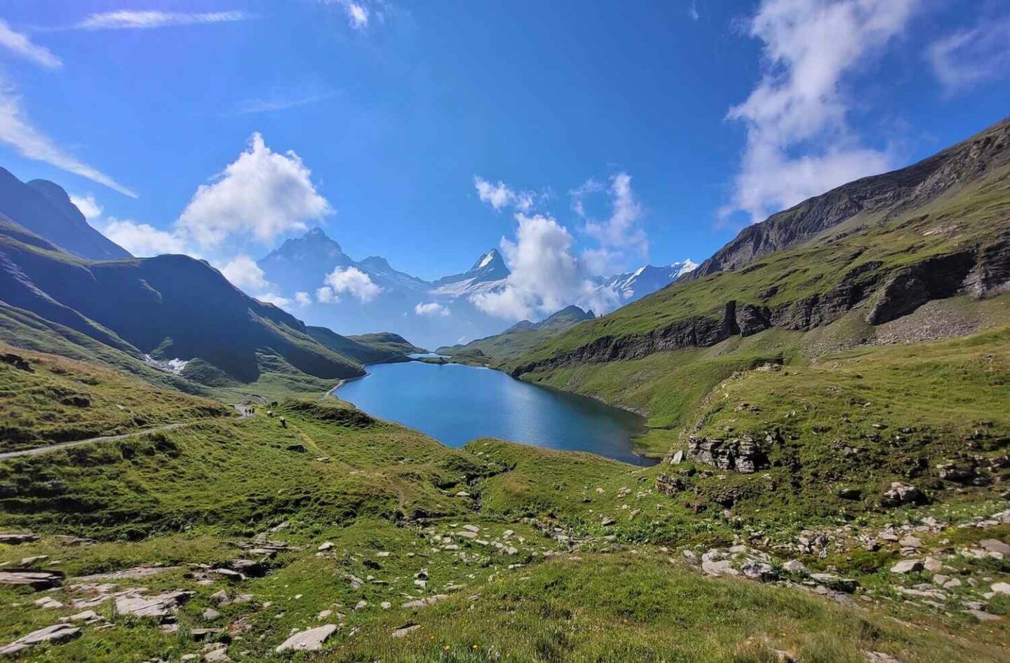
If you’re looking for an unforgettable day trip or hikes from Lauterbrunnen, then going to Bachalpsee Lake from Grindelwald should definitely be on your list of best Lauterbrunnen hikes!
It’s an easy hike that will take you about an hour from the First station to reach the beautiful lake, which sits at an altitude of 2,265m.
The best part of this hike is that you get to take a cable car from Grindelwald to First Station, which means you can immediately start your trek once you get off the cable car.
This Lauterbrunnen trail is well-marked and easy to navigate, and as you walk, you’ll be treated to panoramic views of the Swiss Alps, including the iconic Eiger Mountain.
14. HARDER KULM PANORAMA TRAIL FROM INTERLAKEN
- Length: 8.2 km
- Difficulty: Moderately challenging
- Duration: 4 hours
- Elevation gain: 773m
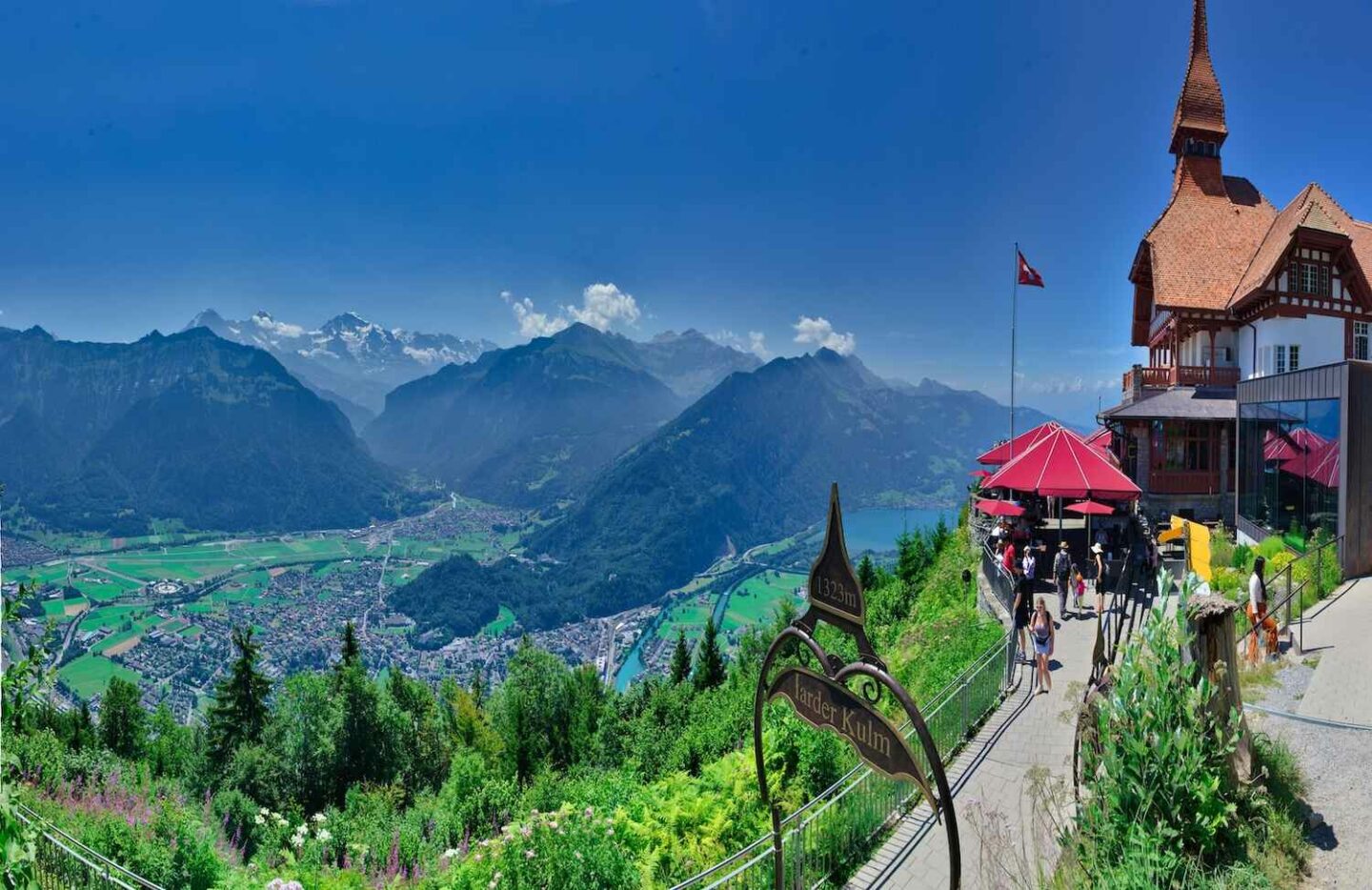
Starting from Interlaken, this moderately challenging hike takes you on a steep journey up to the peak of Harder Kulm.
The hike begins with a relatively quiet walk filled with switchbacks through the woods. As you hike higher, the incline becomes steeper and the terrain more challenging, but the stunning views make it all worthwhile.
At an elevation gain of 773 meters, the Harder Kulm Panorama Trail boasts views of 3 of the largest mountains in the area – Eiger, Mönch, and Jungfrau.
If you’re starting the hike from either Interlaken or Unterseen, the best place to park is at Parkplatz, the primary car park for the train station.
This inexpensive and open-to-all parking zone takes debit or credit card and is just a 5-10 minute walk to the start of the hike where you’ll cross the River Aare.
Along the way, the first point of interest is the Alpenwildpark Interlaken, home to a colony of Marmots.
As you leave the animal park, you’ll soon begin to climb up amongst the trees on a steady incline that will lead you all the way to the pinnacle of Harder Kulm, the ultimate reward out of all the hikes near Lauterbrunnen!
While hiking this Lauterbrunnen trail is worth the experience, if you’re not up to an active day, I suggest booking the Harder Kulm Funicular, which is a convenient way to reach the summit.
15. GIESSBACH FALLS TO FAULHORN
- Length: 3.7km
- Difficulty: Moderate
- Duration: 2 hours
- Elevation gain: 327m
For a day trip out of Lauterbrunnen, taking the hike from the Giessbach Falls to Faulhorn is a great option to take in the views and stay active on the road!
First, you’ll have to take the funicular in Brienz up to Hotel Giessbach and then hike to the falls. The first part of the trail is easy, and you’ll have no problems hiking it.
Once you get to the falls, there’s a spot where you can get behind and enjoy the refreshing moment or take cool selfies!
The second part, which goes from the waterfall to Faulhorn, is more challenging but not difficult, so you should be fine even as a beginner.
The BEST Hotel in Brienz
Need a place to stay? Hotel Giessbach is conveniently located in the heart of Brienz near Lauterbrunnen Valley.
Whether you’re here to explore the waterfall or relax in comfort, Hotel Giessbach offers the best of both worlds.
HIKING IN LAUTERBRUNNEN – FAQ’S
Below you’ll find some of the most frequently asked questions from first-time visitors planning their Lauterbrunnen Switzerland hikes.
BEST TIME TO GO HIKING IN LAUTERBRUNNEN?
The best time to go hiking in Lauterbrunnen is during the summer months which are June through to October.
Note: Most of the Lauterbrunnen trails are closed during the winter season so you’ll want to time your visit during summer.
I personally prefer the spring and summer months in Switzerland, which are April through to September, when temperatures are warm, and the landscapes are vividly green.
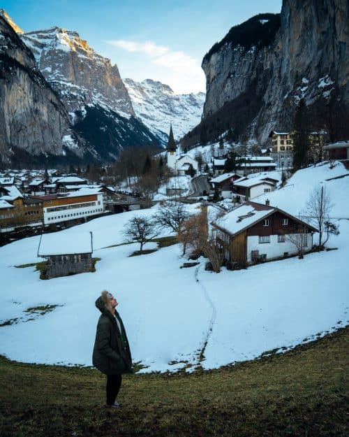
If you don’t mind the cold, visiting in winter between December and March is absolutely magical because the mountains are completely covered in glistening white snow, however, most of the trails will be closed.
WHERE TO STAY IN LAUTERBRUNNEN?
There are dozens of accommodation options to choose from in Lauterbrunnen, however, it can be overwhelming trying to decide where to stay.
To make your selection easier, I have narrowed it down to a few of the best hotels that are suitable for luxury travelers, budget backpackers, and everyone in between.
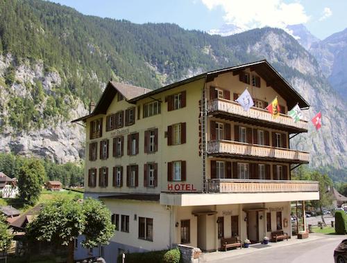
LUXURY: HOTEL STAUBBACH
MID RANGE: HOTEL SILBERHORN
BUDGET: VALLEY HOSTEL
MORE PLACES TO STAY IN LAUTERBRUNNEN
To find all other hotels in Lauterbrunnen, simply enter your dates of stay below and hit the search button!
Booking.comBEST THINGS TO DO IN LAUTERBRUNNEN?
I have visited Lauterbrunnen on two separate occasions, once in winter and the other in summer, so it’s safe to say I know this valley like the back of my hand.
To make the most out of your visit, I recommend spending around 2-3 days in Lauterbrunnen Valley.
Be sure to check out my complete Lauterbrunnen Travel Guide where you’ll find the top 15 things to do in Lauterbrunnen to help you plan your trip ahead of time.
VIEW BLOG POST: 15 THINGS TO DO IN LAUTERBRUNNEN
CAN I BOOK A LAUTERBRUNNEN TOUR?
With so many sights and experiences to take in – from gorgeous valleys to glacial waterfalls and beautiful mountain ranges – it can be difficult to plan your trip.
Guided tours can be a perfect way to see the local area and have hands-on experience with a knowledgeable guide to make your experience one to remember.
Plus, you can also join a trip around the best hikes in Lauterbrunnen, and that is priceless!
Note that, when going hiking, you’ll want to get a Lauterbrunnen hiking map if that’s your first time and in case you don’t plan to join a tour.
I have put together a separate blog post with further details on the best tours in the region.
FULL BLOG POST: BEST LAUTERBRUNNEN TOURS
ARE THERE RESTAURANTS IN LAUTERBRUNNEN?
Apart from the easy hikes in Lauterbrunnen, if you’re feeling hungry and want to know where to eat during your visit, check out this post on the 10 Best Restaurants and Cafes for breakfast, lunch, dinner, and drinks.
This guide will help you narrow down your choices and it goes into more detail on what each restaurant has to offer.
FULL BLOG POST: 10 BEST LAUTERBRUNNEN RESTAURANTS

WHAT TO PACK FOR LAUTERBRUNNEN
When visiting the Valley of 72 Waterfalls, here is a list of items I highly recommend bringing with you:
Must-Have Travel Essentials
Keep your cash and other valuables safe with this anti-theft hidden money wallet!
The GRAYL GeoPress is the best reusable bottle that allows you to purify water from anywhere!
FINAL THOUGHTS – BEST HIKES LAUTERBRUNNEN
I hope you found this article useful and if you have any questions about Hikes In Lauterbrunnen, please drop me a comment below this post and I’ll get back to you as soon as I can.
For a quicker response about the Lauterbrunnen Valley hike, be sure to join Jonny Melon’s Travel Tribe on Facebook and post your questions or recommendations to our awesome community.

TRAVEL RESOURCES FOR YOUR NEXT TRIP
Whether you’re a seasoned traveler or it’s your first trip overseas, here are some useful travel resources to help you kick-start your next adventure!
THANKS FOR READING
Hey friend, thanks for reading this guide!
Please know this post may contain affiliate links. When making a purchase through one of my links, I earn a small kickback at no extra cost to you and it’s a big help to keep the site up and running. Rest assured, I only promote products and services that I personally use and recommend.
Click here to find out how you can support the site organically.
Many thanks!











How are the hikes right now (later this week)? Are they snowy or can you walk them in tennis shoes and a light jacket?
Hey, I’m not quite sure exactly as I have never hike in Lauterbrunnen this time of year. I would still recommend good walking shoes/boots and a jacket to keep warm as it’s nearing winter. Have a great time!